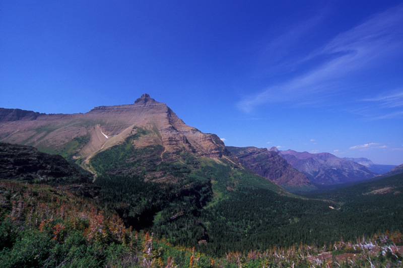
Triple Divide Peak Facts
- To begin with, the slopes of Triple Divide Peak play an important role in the hydrologic cycle of North America. That’s because from this location rain or melting snow can potentially flow into either of three oceans. This makes this geological marvel one of only three such sites in the world.
- Not only that: the water that flows from Triple Divide Peak does so in great quantity, largely from melting snow. Due to this, few locations of similar size produce as great a volume of water as this. In fact, this one site contributes to a significant portion of the waterways on the whole continent.
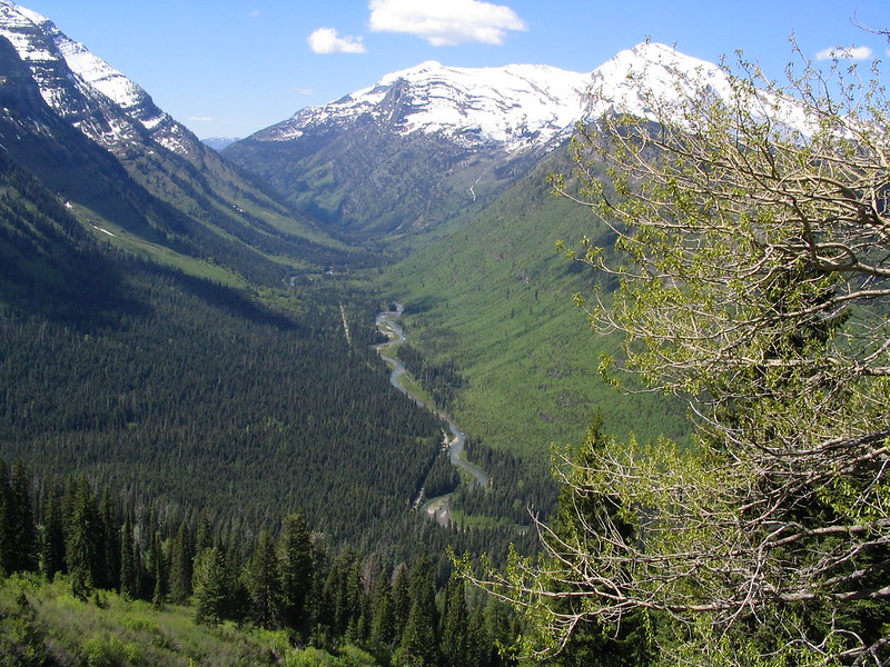
- This astonishing peak also now serves as a key component of Glacier National Park, a federally protected area. The summit marks the exact spot where the Great Divide and the Laurentian Divide converge. In addition, these form two of the key continental divides of North America.
Related Articles
Triple Divide Peak Physical Description
The remarkable Triple Divide Peak formed as a rather overlooked part of what we now call the Rocky Mountains.
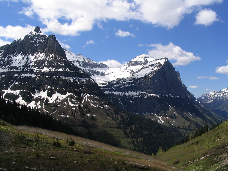
While certainly not the tallest peak in that range, it ranks among the most important. It stands a moderate 8,020 ft (2,444 m) in height, yet towers over others in ecological significance. Since it essentially originated as an enormous outcropping of Precambrian rock, the stone of the peak primarily consists of granite.
The shape of the peak formed rather steep and vertical, leading many to call it prow-shaped. Erosion by both wind and water has further enhanced that shape over time.
In addition to its steepness, very little soil clings to its sides, thus vegetation on the peak remains extremely sparse.
Triple Divide Peak Location, Formation, and Impact
The magnificent Tripe Divide Peak stands in what is now the state of Montana, in the United States.
The site forms part of the local mountain group, known as the Lewis Range. This range, and thus Triple Divide Peak itself, was formed approximately 170 million years ago.
This occurred when a gigantic section of older rock fractured and slid over younger stone from the Cretaceous period. Yet it was pure coincidence that this peak formed the hydrologic apex of the North American continent.
Water flowing down the western side feeds first into Pacific Creek, then Nyack Creek, and eventually the Pacific Ocean. From the northeastern side, water first flows into Hudson Bay Creek, and eventually into the Arctic Ocean. And from the southeastern slope, water first enters Atlantic Creek, and eventually finds its way into the Atlantic Ocean.
Features Sharing Its Region
Check out our other articles on 5 Incredible Insects of Ukraine, Serval, Mount Olympus, Tufted Grass Tree, Orange-belted Bumblebee, Eurasian Griffin Vulture, Tiger Shark, American Alligator


Leave a Reply