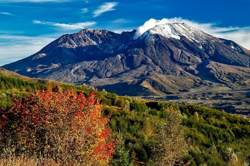
The incredible (now infamous) Mount Saint Helens represents a perfect example of the strength of Nature. That occurs because this volcano became a showcase of geological power in 1980.
It formed in Washington State, in the United States. An explorer named Mount Saint Helens after the British diplomat, Lord St Helens. His friend, George Vancouver, was the first European to survey the region, in the late 18th century.
The Native Americans indigenous to the area (the Cowlitz) also have many legends concerning the mountain. In their native language, they named the mountain Lawetlat’la.
Mount Saint Helens Physical Characteristics
Technically, Mount Saint Helens remains another active volcano of the type known as a stratovolcano.
It sits nearly 96 mi (154 km) south of Seattle, Washington. It also lists as one of the 160 active volcanoes forming what we call the Pacific Ring of Fire.
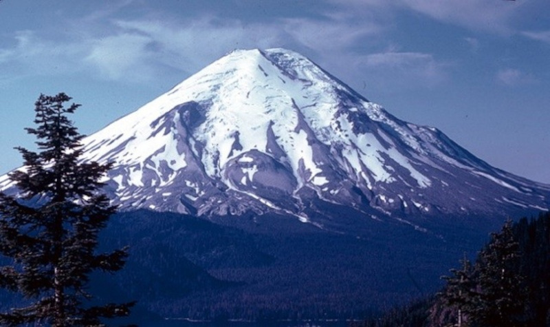
The base of the mountain measures approximately 6 mi (9.6 km) wide. Prior to its history-making eruption in 1980, the summit was roughly 9,677 ft (2,950 m) in height.
The cone formed primarily composed of layers of basalt, andesite, and pumice. The stratovolcano formed less than 40,000 years ago, during the Pleistocene Era.
Mount Saint Helens Eruption Statistics
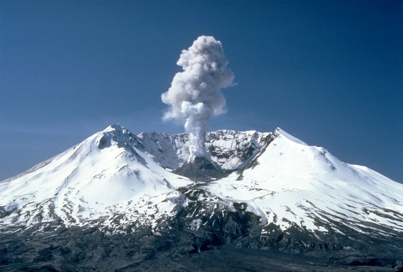
On May 18, 1980, at 8:32 a.m. PDT, Mount Saint Helens erupted in the deadliest and most powerful volcanic event in the history of the United States. The pyroclastic flow was consequently enormous and devastating. The list of damages caused by the eruption (known as a Plinian eruption) remains too long to recount. However, a few include:
- A total of 57 (known) human lives were lost.
- An estimated 7,000 large game animals (elk, deer, and bear) died, and also an estimated 12 million fish from a local hatchery.
- More than 200 homes also destroyed or damaged.
- 185 miles (298 km) of highway destroyed.
- 15 miles (24 km) of the railway was destroyed.
- The stem of the ash cloud measured 10 mi (16 km) wide.
- The mushroom-shaped top of the ash cloud was 40 mi (64 km) in width.
- Its volcanic ash cloud rose to a height of more than 15 mi (24 km) before dissipating.
- The horseshoe-shaped crater left by the explosion is also nearly 1 mile (1.6 km) across.
- Ash from the explosion was recorded in 11 US states, and portions of Canada.
Related Articles: Mount Erebus, Mount Bromo, Mount Roraima


Leave a Reply