Hunza Valley Facts
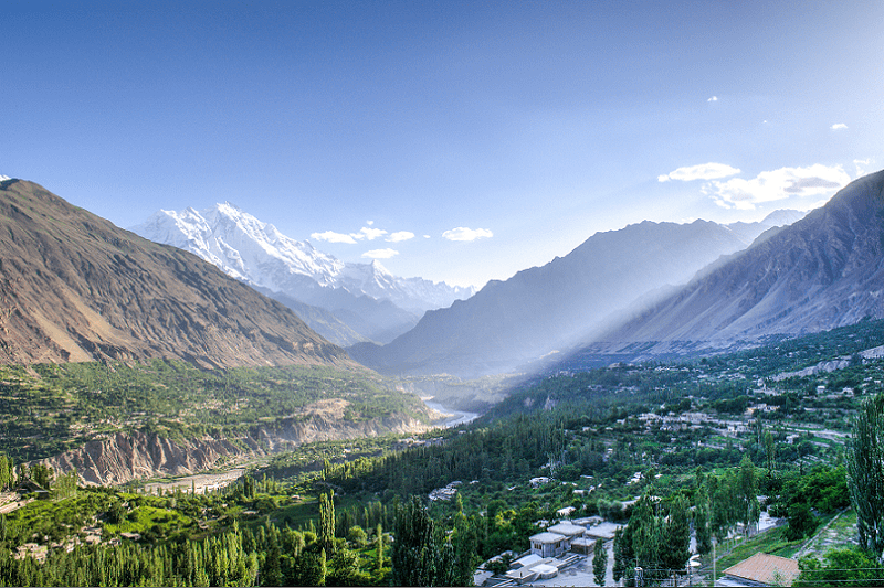
- The Hunza Valley forms a rugged and remote mountain valley in the country of Pakistan, in Asia. This extraordinarily picturesque valley sits located northwest of the Hunza River.
- The region also remains a popular tourist site, for the majestic mountain geology and scenery. The tourist season generally lasts from May to October.
- Yet the rest of the year, the region remains virtually inaccessible to outsiders, due to heavy snow conditions. Many believe that the Hunza Valley served as the inspiration for the mythical valley of Shangri-La from literature.
Related Articles
Hunza Valley Physical Description
The stunning Hunza Valley itself lies situated at an altitude of about 3,000 ft (900 m) above sea level.
The valley also sits surrounded by numerous mountains, with eight of these incredible peaks measuring 6,000 m (19,685 ft) or greater in height. This mesmerizing region also comprises a total area of roughly 3,100 sq mi (7,900 sq km).
Numerous glaciers also remain in the surrounding mountains, and a rather small river also runs through the gorgeous valley. This river bears the name of the Hunza River and draws its water from the runoff created by glacial melting.
Hunza Valley Formation and Recent History
The rather breathtaking Hunza Valley formed due to glacial action during the last ice age. The action of the retreating glacier also carved out the enormous valley between the surrounding mountains.
In 2010, a landslide also blocked the river and created Attabad Lake, which threatened 15,000 people in the valley below and temporarily blocked 16.7 mi (27 km) of the Karakorum Highway.
The geography of the region also roughly divides the gorgeous valley into three distinct subdivisions. These simply bear the names of the upper, central, and lower Hunza.
Features Sharing Its Region
Check out our other articles on 5 Amazing Animals of Greece, Australian Sea Lion, Minerva Springs and Terrace, Orange-belted Bumblebee, Hellbender Salamnder, Texas Alligator Lizard

