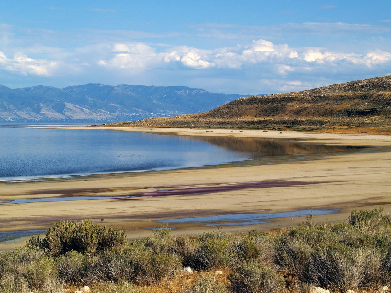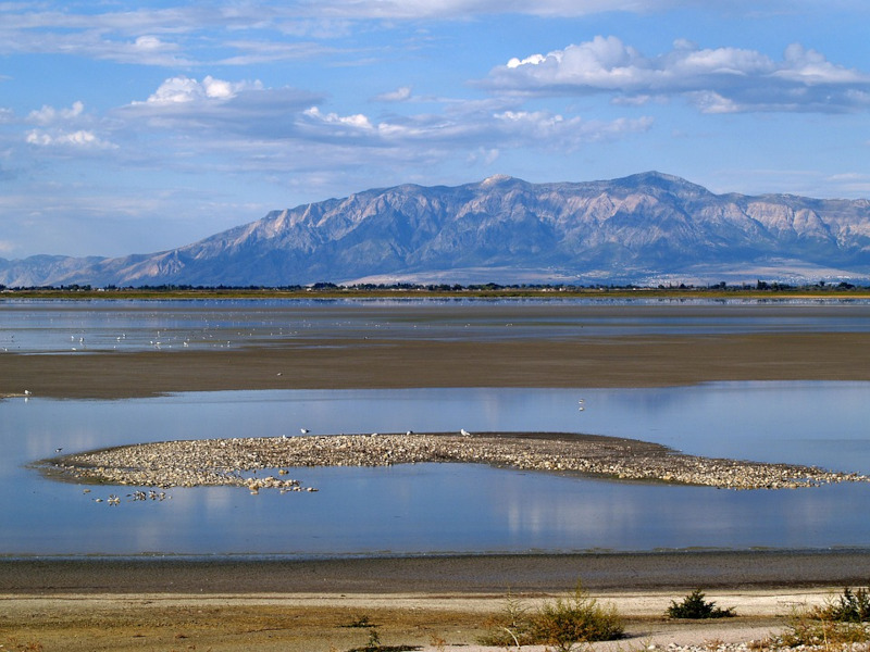
The Great Salt Lake formed in North America, in the northern section of the state of Utah, in the United States.
By volume, it is the largest saltwater lake in the Western Hemisphere as well as the fourth largest terminal lake on earth.
However, the size of the lake fluctuates quite significantly.
The lake stays quite shallow, and in drier seasons, evaporation alters its area incredibly. Its lowest recorded area totaled 950 sq mi (2,460 sq km), and the greatest recorded area measured 3,300 sq mi (8,500 sq km) – a difference of almost 350%!
On average, however, it encompasses an area of about 1,700 sq mi (4,400 sq km). In terms of the area of its surface, it ranks as the largest lake in the United States, outside of the Great Lakes region.

Great Salt Lake Geography
The Great Salt Lake draws its water from three major rivers, as well as several smaller streams. Either directly or indirectly, all three of these major rivers are fed from the Uinta Mountain range, in northeastern Utah.
The Great Salt Lake also contains 11 recognized islands. However, they are not always all present. Each is small, and the lake is an extremely shallow geological feature.
During periods when the water level climbs higher, some of these tiny islands are submerged. At its deepest section, the lake is only approximately 35 ft (10.7 m). Its average depth totals about 13 ft (4 m).

Great Salt Lake Ecosystem
The Great Salt Lake possesses an extremely high saline level, which makes it uninhabitable to most species. Among the few that do inhabit the lake are brine shrimp and brine flies. The brine fly population is estimated at over 1oo billion. In fact, vast quantities of migrating birds rely upon this rich food source.
The northern and eastern edges of the Great Salt Lake also contain numerous wetlands. These provide an indispensable source of shelter and habitat for the millions of migratory birds that utilize the area.
Check out our articles on Lake Nakuru, Thors Well, Lake Turkana, Mount Desert Island


Leave a Reply