Mount Desert Island Facts
- Mount Desert Island ranks as the 6th largest island in the contiguous United States. It also holds the distinction of being the second largest island on the U.S. Eastern seaboard.
- This geological gem also boasts the Acadia National Park. Its permanent population numbers less than 11,000 individuals, yet more than 2.5 million tourists visit the island annually.
- Additionally, a French expedition leader in 1604 gave the island its current name. However, the indigenous Native American people always called the island Pemetic, which meant the sloping land.
- History further indicates habitation going back more than 6,000 years. According to archaeological records, the Wabanaki people moved between the coast and inland according to the seasons.
Related Articles
Mount Desert Island Physical Description
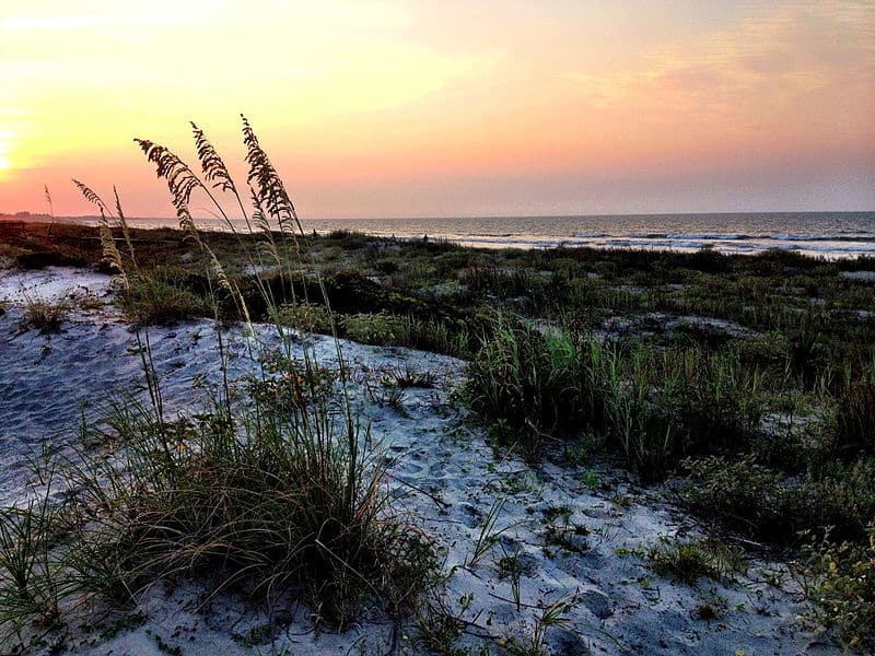
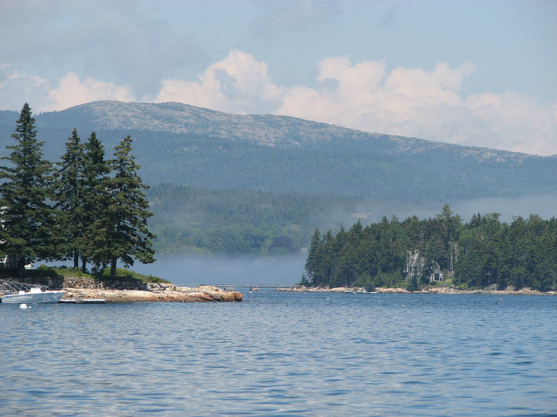
Firstly, the beautiful Mount Desert Island covers an area of roughly 108 sq mi (280 sq km). It also has an irregular outline. In addition, Cadillac Mountain stands as the highest point on the island. It boasts a height of 1,528 ft (466 m).
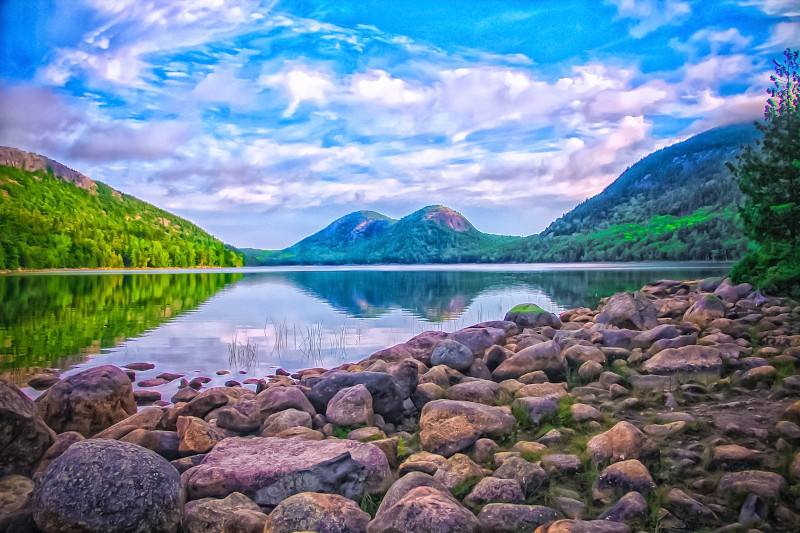
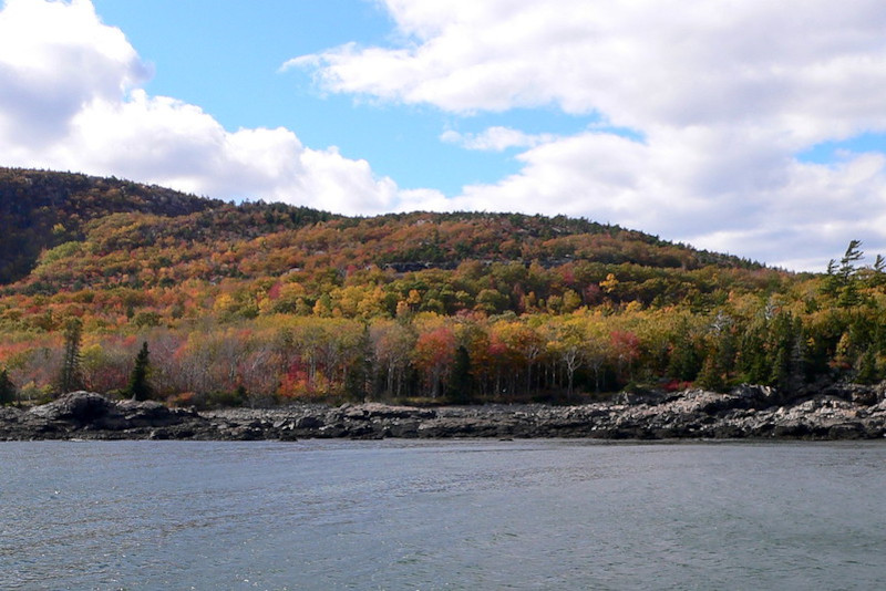
It’s the natural splendor that draws the most attention, however, and deservedly so. Large portions of the island teem with stunning forests, mainly consisting of deciduous trees.
A large fire in 1947 cleared half the island of most of its coniferous trees, allowing other species to take hold. Much of the forest now consists of aspen, birch, and maple. Parts of the island still teem with wildlife, including deer, raccoon, lynx, and muskrats.
The native North American Beaver population was hunted to extinction but has since been repopulated. Several well-known summer colonies have been constructed there, due to the great natural beauty.
Mount Desert Island Geology and History
Geological evidence shows that Mount Desert Island originally formed around 550 million years ago. The earliest known formation on the island, a seafloor mud deposit, formed during the Cambrian Period.
Powerful plate tectonics later caused the massive formation to fold, thrust, and then lift above sea level. However, a second foundation, composed mainly of silt and sand, subsequently deposited later.
Lastly, a third foundation, composed primarily of volcanic ash and magma, formed even later. The retreat of the Laurentide Ice Sheet during the last ice age also exposed huge deposits of granite.
Finally, one of the most noteworthy geological features of the island is known as Bubble Rock. The retreating glacier left this enormous glacial erratic behind and also left it perched precariously on the side of a mountain.
Features Sharing Its Region
Check out our other articles on 6 Incredible Asian Islands, Irrawaddy Dolphin, Onyx River, Rainbow Eucalyptus, Hellbender Salamander, Lord Howe Island Stick Insect, Hawksbill Sea Turtle


Leave a Reply